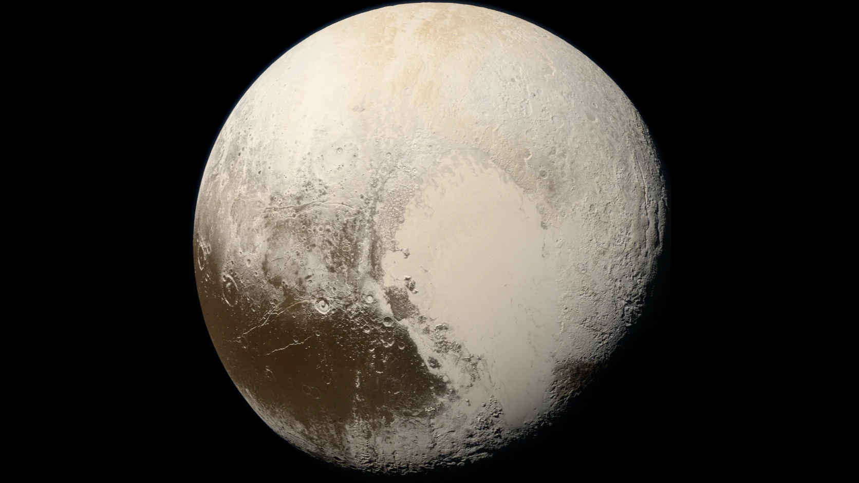
An Icarus study reanalysed high-resolution New Horizons imagery and topographic data and identified six large landslides inside three impact craters on Pluto. The landforms show that gravity-driven slope movement helped shape Pluto, although the available data do not establish when the slides occurred.
Key points
- Researchers identified six large landslides, labelled LD1 to LD6, on the inner walls of three impact craters near Sputnik Planitia.
- The landslides have vertical drops of about 1.5 to 2.2 kilometres, runout distances of about 10.1 to 14.5 kilometres and mapped areas of up to nearly 130 square kilometres.
- Their geometry indicates high mobility comparable to some long-runout landslides on Mars and Ceres; this ratio measures overall mobility, not a directly measured material friction coefficient.
- A younger, small impact crater beside Coughlin crater may have triggered LD1; the triggers of the other five landslides remain unresolved.
- The imagery preserves the resulting landforms but provides no reliable ages, so the discovery does not show that landslides are occurring on Pluto today.
New Horizons made only one close flyby of Pluto, in July 2015, yet the images it returned continue to support new research. Marco Emanuele Discenza and four co-authors re-examined those data and clearly identified six large landslides on Pluto for the first time. Published in the planetary-science journal Icarus, the result provides direct geomorphological evidence that gravity-driven slope movement helped shape the dwarf planet.
How did six landslides emerge from old images?
The team reanalysed images from the New Horizons Long Range Reconnaissance Imager (LORRI), with a resolution of about 300 metres per pixel, together with topographic data used to interpret the slopes. The six landforms, labelled LD1 to LD6, all lie on the inner walls of three impact craters near Sputnik Planitia: LD1 is in Coughlin crater, LD2 and LD3 are in Giclas crater, and LD4 to LD6 are in another, unnamed crater.
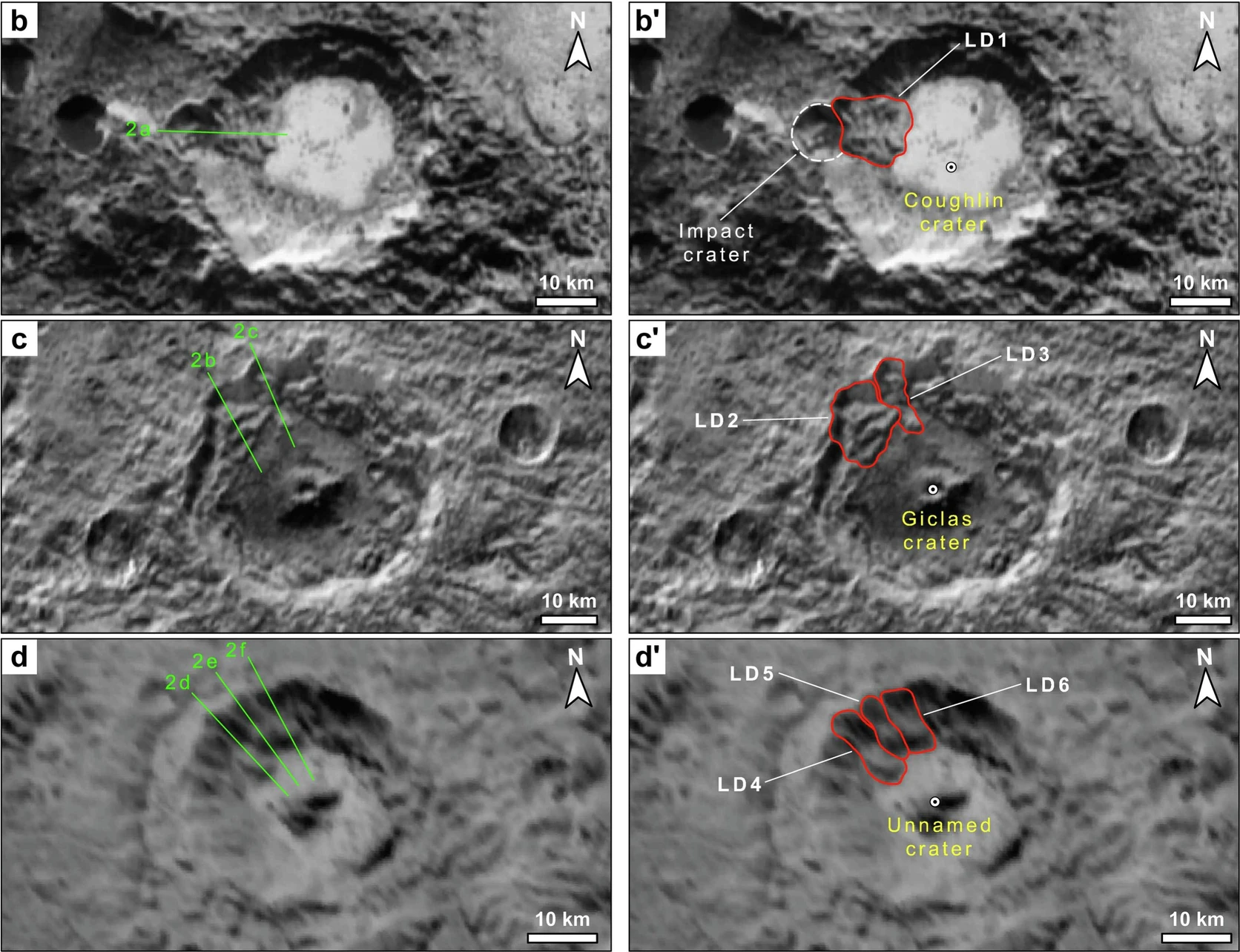
The researchers did not see the landslides in motion. Instead, they recognised a combination of features left behind: arcuate scarps at the top of the slope, large blocks displaced from their original positions, and tongue-shaped or hummocky deposits extending towards the crater floor. Any one feature could have another explanation; their co-occurrence is what led the team to classify these six as clear cases. Other possible landforms were excluded from the formal list because the imagery or topographic data were insufficient.
Up to nearly 130 square kilometres: why did they travel so far?
The study measured vertical drops of about 1.5 to 2.2 kilometres and runout distances from the head scarp to the end of the deposit of about 10.1 to 14.5 kilometres. The largest mapped area approaches 130 square kilometres. These figures describe the landforms visible in the imagery; they are not the volume of moving material and area alone cannot determine the energy of an event.
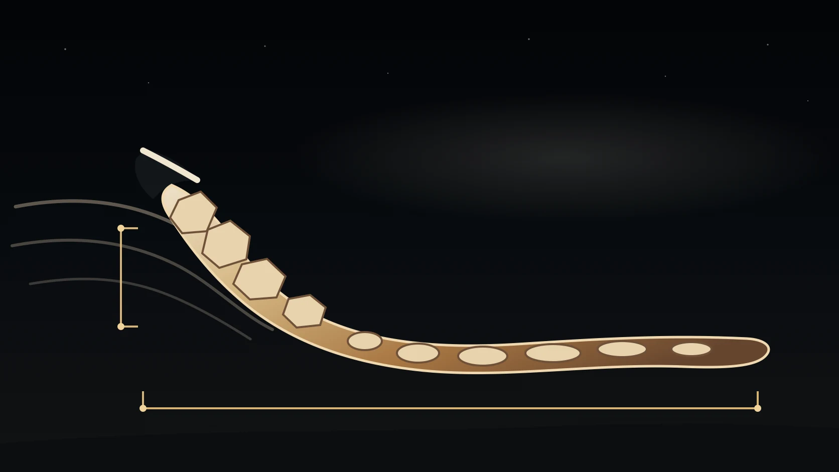
The researchers divided vertical drop H by horizontal runout L, obtaining H/L ratios of about 0.13 to 0.17. A lower value usually means that material travelled farther for the same drop, allowing the Pluto examples to be compared with highly mobile landslides on Mars and Ceres. H/L, however, is a landform-based measure of overall mobility, not a laboratory friction coefficient measured directly for ice blocks or debris. Low gravity, material properties, basal conditions and the mode of movement may all influence the result.
An impact may have triggered one slide; the other causes remain uncertain
The starting point of LD1 lies near a younger, small impact crater on the rim of Coughlin crater. The impact that formed the small crater may have disturbed the slope or shaken already unstable material into collapse, making it the most specific trigger proposed so far. The imagery nevertheless records relative sequence, not the impact directly setting off the landslide.
For LD2 to LD6, the available data do not identify a single cause. The study discusses impacts, tectonic deformation, slope unloading, cryovolcanism and temperature changes as possibilities. Nitrogen, methane and carbon-monoxide ices at Pluto’s surface sublimate or condense as temperatures change and could in principle alter the mechanical properties of near-surface material; subsurface volatiles might also create weaker layers. These remain candidate explanations for the landforms rather than observed, confirmed causes.
Six landslides offer new clues to the evolution of Pluto’s surface
The study identifies these six landforms as landslide deposits for the first time, showing that gravity-driven slope processes once helped shape Pluto. High-resolution data gathered during the 2015 flyby cover only part of the surface, and the formation ages of the landslides cannot yet be established. The six are therefore the currently confirmed sample and may represent only part of Pluto’s landslide distribution.
Their shapes, drops and runout distances allow researchers to probe the mechanical properties of Pluto’s icy surface indirectly and extend comparative Solar System landslide research from Mars, Ceres and Pluto’s largest moon Charon to Pluto itself. Future analysis can search for further candidates and compare their relationships with impacts, tectonic activity and changes in volatile ices. Establishing ages and an evolutionary sequence will require more complete imagery and may ultimately depend on another close-range mission.